Underground entrances to Area 51 uncovered
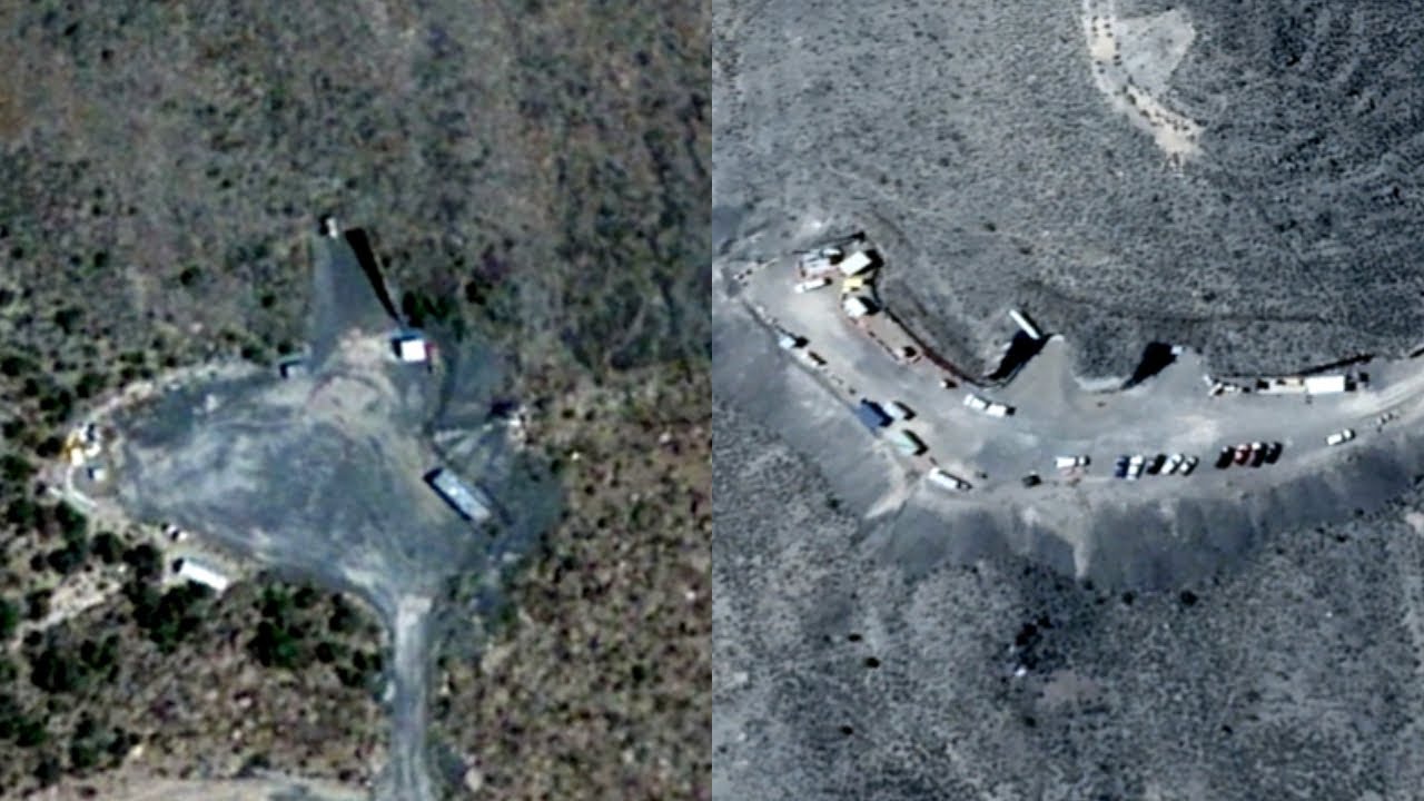
What is below Area 51? Image credit: YouTube / FindingUFO
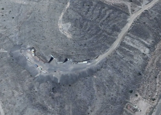
An eagle-eyed Google Earth user has identified what appear to be several underground tunnel entrances. It is believed that it is here that the US military hides alien aircraft captured at the crash site.
There are few places on Earth as notoriously secret as Area 51, a remote facility in the Nevada desert that has become synonymous with stories of reverse-engineered alien technology and the development of highly advanced black projects that hardly anyone knows about anything.
However, thanks to satellite imagery technology, in recent years it has become increasingly possible to obtain an aerial view of the base and its surroundings using Google’s free online map service.
Sometimes studying these maps can even reveal never-before-seen details about the base.
This last example, which comes courtesy of the YouTube channel FindingUFO , hints at the presence of a major underground facility near Area 51, as evidenced by tunnel entrances found at two locations with roads leading to them and cars. parked outside.
While pareidolia can be a major problem when examining satellite imagery, in this case it really seems like there are tunnel entrances carved into the hillside.
If true, then Area 51 could be much larger than it appears to be on the surface.
The base operates in a regime of increased secrecy; warning signs, surveillance cameras and armed guards surround it around the perimeter. Even flights over this territory are prohibited.
The images taken from the satellites show that it has runways up to 3.7 km long, and you can also see the entrances to the underground part of the base about which nothing is known at all.
What is happening at the base is not known for certain. Presumably, it is used to test the latest aircraft and weapons. However, for several decades, in conspiracy-prone circles, it has been argued that it is here that secret studies of intelligent creatures that have fallen to Earth from space are being conducted.
“Area 51” was built during the Cold War between the United States and the USSR as a test site for aircraft, in particular for reconnaissance aircraft U-2 and CP-71 Blackbird.
The base was opened in 1955, but the CIA officially recognized the fact of its existence only in August 2013. And four months later, President Barack Obama first mentioned “Area 51” in a public speech, none of the presidents did this before.
There is very little official information on the use of Area 51. According to some reports, about 1,500 people work at the base, many of whom get to work on charter flights from Las Vegas.
The strict secrecy surrounding “Area 51” has given rise to many conspiracy theories. The most popular of these is that an alien ship crashed in New Mexico in 1947 at a military base. The bodies of the crew, according to the conspiracy theorists, are also located in the “Area 51”.
However, the exact size of this underground facility remains impossible to determine.
Google Earth (Area 51) Coordinates:• 37 ° 14′0 ″ N 115 ° 48′30 ″ W
Google Earth (Area 51 underground bases) Coordinates:• 37.1916478725, -116.17319725• 37 ° 10’23.7 “N 116 ° 11’39.4” W• 37 ° 10’21.17 “N 116 ° 11’31.16” W


naradaninandkevin1111@gmail.com